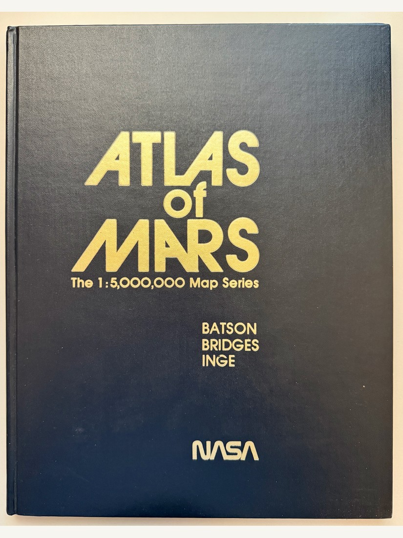
- Year
- 1979
- By
- R.M. Batson, P.M. Bridges, and J.L. Inge (U.S. Geological Survey, Flagstaff, Arizona) / NASA
- Section
- NASA — General & Institutional
- Shelf
- Box 1
- Catalog
- Catalog F · NASA Missions
The complete large-format planetary atlas covering the entire Martian surface at 1:5,000,000 scale, in 30 numbered quadrangles (MC-1 through MC-30) plus a Mare Australe polar supplement, each presented as a controlled photomosaic, an airbrushed shaded-relief rendering, and a contoured topographic version.
With a foreword by Stephen E. Dwornik, Chief of NASA’s Planetary Geology Program, describing the atlas as the culmination of mapping work begun in 1964 with Mariner 4’s first close-up images (1% of the surface) through Mariner 6/7 (10%), Mariner 9 (100% at low resolution), and finally the two Viking Orbiters, which between 1976 and 1979 supplied the medium- and high-resolution photographic base needed for detailed mapping of the whole planet.
Elevation contours were derived from S-band radio occultation, ultraviolet and infrared spectrometer data, and Earth-based radar. Appendices cover nomenclature, mapping procedures, contour methods, the USGS Mars mapping team, and a bibliography of Mars cartography.